Mallorca map Stock Vector Images

100,000 Mallorca map vector art & graphics are available under a royalty-free license

  • Best Match
  • Fresh
  • Popular
1-100 of 100,000
Map of Mallorca
Map of Mallorca — Stock Vector
Map of Mallorca
Map of Mallorca — Stock Vector
Balearic Islands, Mallorca, Menorca, Ibiza map blue white card paper 3D vector
Balearic Islands Mallorca Menorca Ibiza Map Blue White Card Paper — Stock Vector
Low Poly map of Mallorca Island
Low Poly map of Mallorca Island — Stock Vector
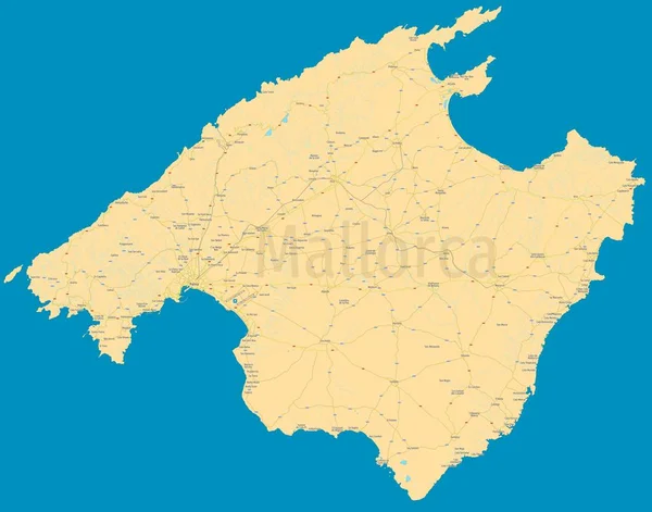
Mallorca (Majorca) political map. High detail color vector island. All elements are separated in editable layers: cities & towns names, roads, railways, rivers, lakes, highway numbers. High resolution atlas.
Mallorca Majorca Political Map High Detail Color Vector Island All — Stock Vector
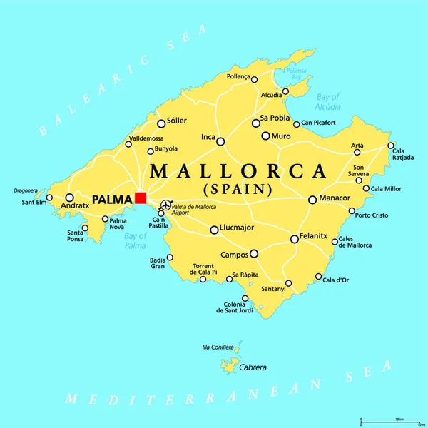
Mallorca political map, with capital Palma and important towns. Majorca, largest Island of the autonomous community of the Balearic Islands, and part of Spain, located in the Mediterranean Sea. Vector
Mallorca Political Map Capital Palma Important Towns Majorca Largest Island — Stock Vector
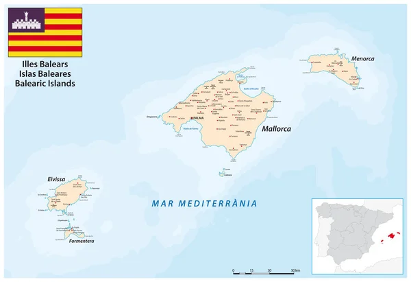
Vector map of the Balearic Islands in the western Mediterranean sea
Vector Map Balearic Islands Western Mediterranean Sea — Stock Vector
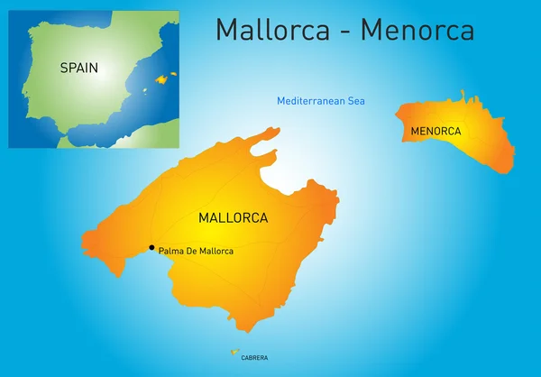
Mallorca-Menorca
Mallorca-Menorca — Stock Vector
Map of mallorca
Map of mallorca — Stock Vector
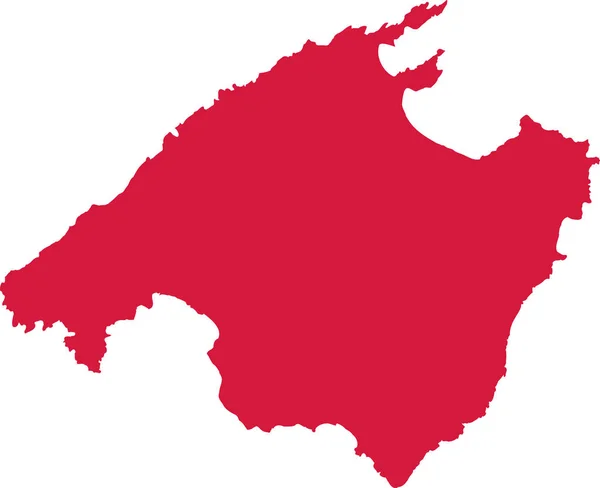
Mallorca map silhouette
Mallorca map silhouette — Stock Vector
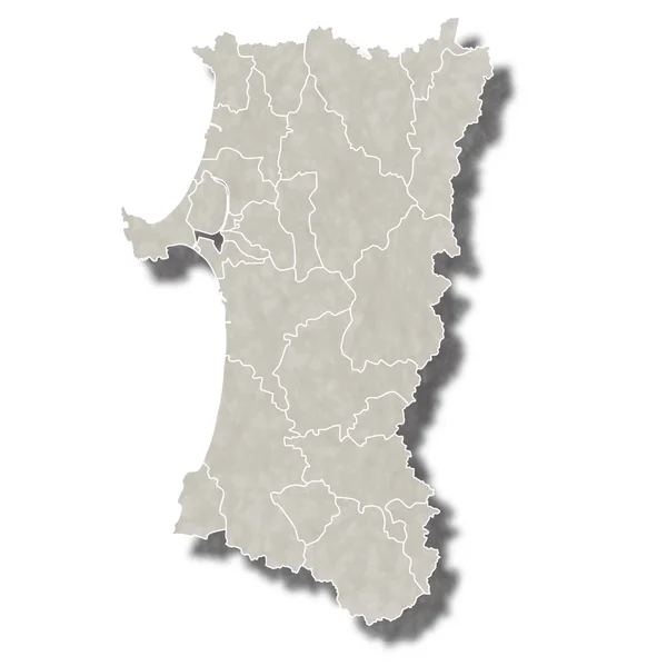
Akita Japan map icon
Akita Japan map icon — Stock Vector
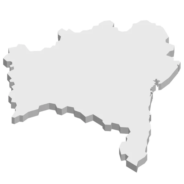
Salvador Brazil map
Salvador Brazil map — Stock Vector
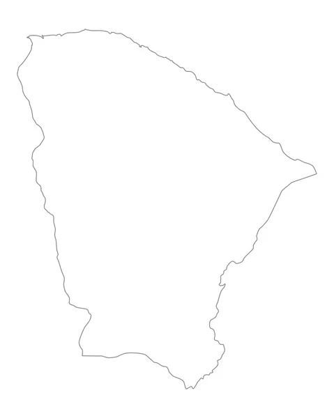
Accurate map of Ceara
Accurate map of Ceara — Stock Vector
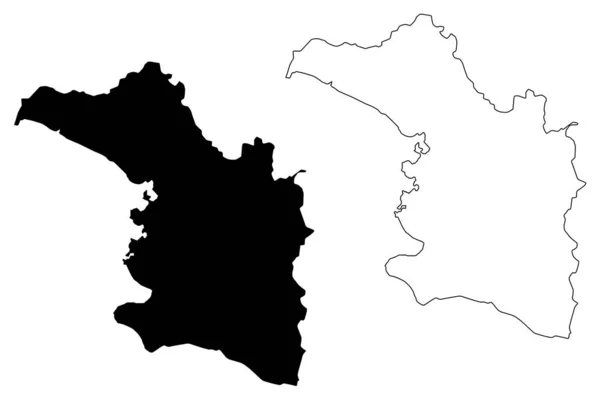
Artibonite department (Republic of Haiti, Hayti, Hispaniola, Departments of Haiti) map vector illustration, scribble sketch Artibonite ma
Artibonite department (Republic of Haiti, Hayti, Hispaniola, Departments of Haiti) map vector illustration, scribble sketch Artibonite ma — Stock Vector
Yalova (Provinces of the Republic of Turkey) map vector illustration, scribble sketch Yalova ili map
Yalova Provinces Republic Turkey Map Vector Illustration Scribble Sketch Yalova — Stock Vector
Ararat province map, administrative division of Armenia.
Ararat Province Map Administrative Division Armenia — Stock Vector
Otroya island (Kingdom of Norway) map vector illustration, scribble sketch Otroy map
Otroya Island Kingdom Norway Map Vector Illustration Scribble Sketch Otroy — Stock Vector
Highly detailed Fiji map with borders isolated on background
Highly Detailed Fiji Map Borders Isolated Background — Stock Vector
Isolated vector Illustration. Black on White background. EPS 10 Illustration
Isolated Vector Illustration Black White Background Eps Illustration — Stock Vector
Prilep Municipality (Republic of North Macedonia, Pelagonia Statistical Region) map vector illustration, scribble sketch Prilep map
Prilep Municipality (Republic of North Macedonia, Pelagonia Statistical Region) map vector illustration, scribble sketch Prilep map — Stock Vector
Stencil map of Malapascua Island. Simple and minimal transparent map of Malapascua Island. Black rectangle with cut shape of the island. Creative vector illustration.
Stencil Map Malapascua Island Simple Minimal Transparent Map Malapascua Island — Stock Vector
Isolated vector Illustration. Black on White background. EPS 10 Illustration
Isolated Vector Illustration Black White Background Eps Illustration — Stock Vector
Vietnam map icon, cartoon style
Vietnam map icon, cartoon style — Stock Vector
Spain - solid black outline border map of country area. Simple flat vector illustration
Spain - solid black outline border map of country area. Simple flat vector illustration — Stock Vector
Hungary map outline vector with administrative borders, regions, municipalities, departments in black white colors. Infographic design template map
Hungary Map Outline Vector Administrative Borders Regions Municipalities Departments Black — Stock Vector
Zonguldak (Provinces of the Republic of Turkey) map vector illustration, scribble sketch Zonguldak ili map
Zonguldak Provinces Republic Turkey Map Vector Illustration Scribble Sketch Zonguldak — Stock Vector
Map of San Marino
Map of San Marino — Stock Vector
Zlin region administrative unit of the Czech Republic. Vector illustration.
Zlin Region Administrative Unit Czech Republic Vector Illustration — Stock Vector
Tajikistan
Tajikistan — Stock Vector
Mayotte map outline
Mayotte map outline — Stock Vector
Nagano Japan map icon
Nagano Japan map icon — Stock Vector
Black highlighted location map of the So Toman Cantagalo district inside gray map of the Democratic Republic of Sao Tome and Principe
Black Highlighted Location Map Toman Cantagalo District Gray Map Democratic — Stock Vector
Saint Barthelemy map
Saint Barthelemy map — Stock Vector
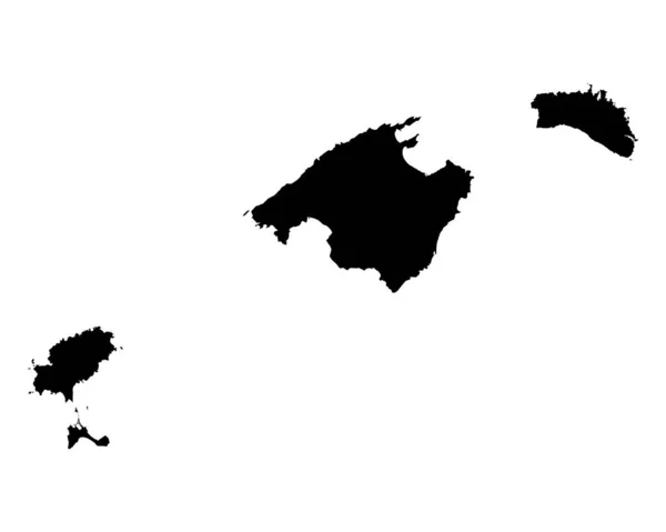
Map of Balearic Islands
Map Balearic Islands — Stock Vector
Vector illustration of scribble drawing map of Estonia
Vector Illustration Scribble Drawing Map Estonia — Stock Vector
Black silhouette of a map of the city of Campinas in southern Brazil on a white background
Black Silhouette Map City Campinas Southern Brazil White Background — Stock Vector
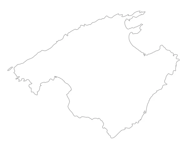
Accurate map of Mallorca
Accurate map of Mallorca — Stock Vector
Illustrated Country Shape of Laos
Illustrated Country Shape of Laos — Stock Vector
Quba district map, administrative division of Azerbaijan.
Quba District Map Administrative Division Azerbaijan — Stock Vector
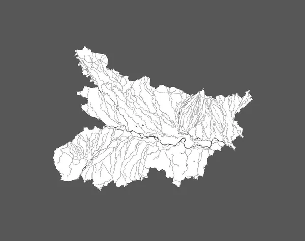
India states - map of Bihar. Hand made. Rivers and lakes are shown. Please look at my other images of cartographic series - they are all very detailed and carefully drawn by hand WITH RIVERS AND LAKES.
India States Map Bihar Hand Made Rivers Lakes Shown Please — Stock Vector
Viseu Map, District of Portugal. Vector Illustration.
Viseu Map District Portugal Vector Illustration — Stock Vector
Stencil map of Nicaragua Simple and minimal transparent map of Nicaragua Black rectangle with cut
Stencil map of Nicaragua Simple and minimal transparent map of Nicaragua Black rectangle with cut — Stock Vector
Ille-et-Vilaine Department (France, French Republic, Brittany or Bretagne region) map vector illustration, scribble sketch Ille et Vilaine map
Ille Vilaine Department France French Republic Brittany Bretagne Region Map — Stock Vector
Illustrated Country Shape of Central African Republic
Illustrated Country Shape of Central African Republic — Stock Vector
Dotted Grand Cayman Island Map Abstractions
Dotted Grand Cayman Island Map Abstractions — Stock Vector
Map of El Hierro
Map of El Hierro — Stock Vector
Hand Drawn Lined Cyprus Simple Map Drawing
Hand Drawn Lined Cyprus Simple Map Drawing — Stock Vector
3D map of France (French Republic) - white, yellow, blue and gold - vector illustration
Map France French Republic White Yellow Blue Gold Vector Illustration — Stock Vector
Illustrated Country Shape of Estonia
Illustrated Country Shape of Estonia — Stock Vector
Illustrated Country Shape of Georgia
Illustrated Country Shape of Georgia — Stock Vector
Accurate map of Austria
Accurate map of Austria — Stock Vector
Accurate map of Baden-Wuerttemberg
Accurate map of Baden-Wuerttemberg — Stock Vector
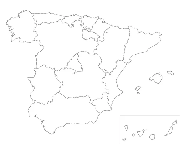
Simplified maps of Spain. Black and white outlines.
Simplified Maps Spain Black White Outlines — Stock Vector
Artibonite department (Republic of Haiti, Hayti, Hispaniola, Departments of Haiti) map vector illustration, scribble sketch Artibonite ma
Artibonite department (Republic of Haiti, Hayti, Hispaniola, Departments of Haiti) map vector illustration, scribble sketch Artibonite ma — Stock Vector
Accurate map of Ceara
Accurate map of Ceara — Stock Vector
Map of Spain
Map of Spain — Stock Vector
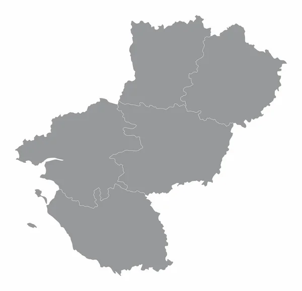
Pays de la Loire administrative map isolated on white background, France
Pays Loire Administrative Map Isolated White Background France — Stock Vector
East Timor country thin black outline. High detailed map. Vector illustration isolated on white background.
East Timor Country Thin Black Outline High Detailed Map Vector — Stock Vector
Map of Lima Metropolitana
Map Lima Metropolitana — Stock Vector
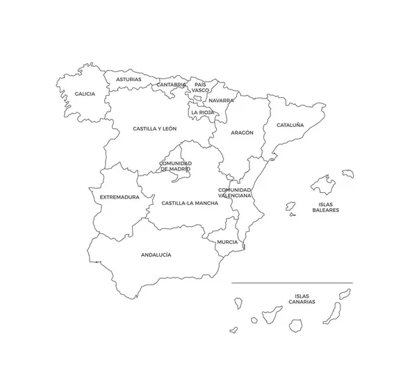
Spain Regions Map Line Vector
Spain Regions Map Line Vector — Stock Vector
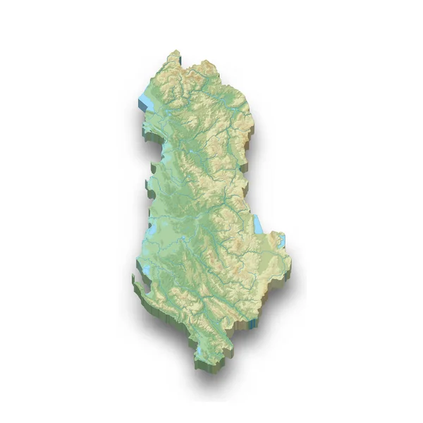
3d isometric relief map of Albania with shadow
Isometric Relief Map Albania Shadow — Stock Vector
Transparent Background Saint Helena Simple map
Transparent Background Saint Helena Simple Map — Stock Vector
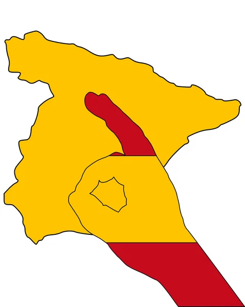
Spanish finger signal
Spanish finger signal — Stock Vector
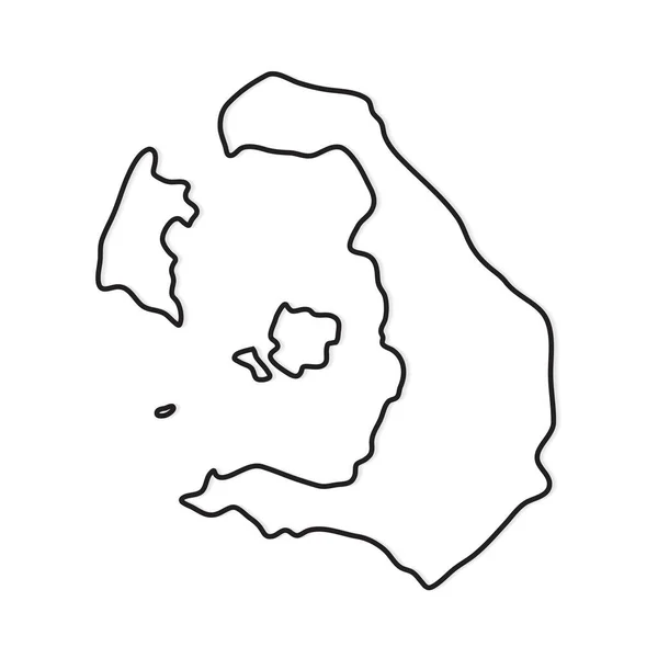
Black outline of Santorini island map- vector illustration
Black Outline Santorini Island Map Vector Illustration — Stock Vector
Arequipa map, region in Peru. Vector Illustration.
Arequipa Map Region Peru Vector Illustration — Stock Vector
Gold Vector Map of Ivory Coast
Gold Vector Map of Ivory Coast — Stock Vector
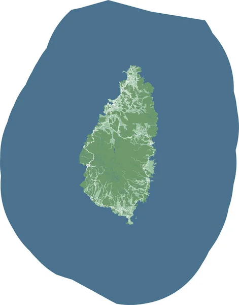
Saint Lucia map, Caribbean island country. Detailed map with administrative border, buildings, sea and forests, cities and roads.
Saint Lucia Map Caribbean Island Country Detailed Map Administrative Border — Stock Vector
Transparent silhouette of Andorra map with shadow
Transparent Silhouette Andorra Map Shadow — Stock Vector
Map of Spain icon, gray monochrome style
Map of Spain icon, gray monochrome style — Stock Vector
Accurate map of Catalonia
Accurate map of Catalonia — Stock Vector
3d isometric map of Punjab is a province of Pakistan, vector illustration
Isometric Map Punjab Province Pakistan Vector Illustration — Stock Vector
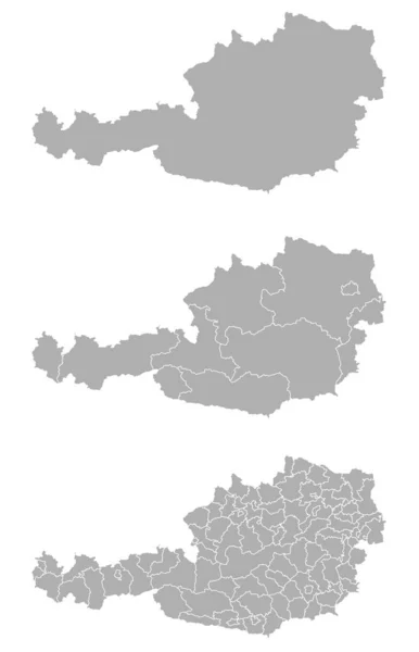
Three detailed vector maps of Austrian administrative regions and areas in grey color
Three Detailed Vector Maps Austrian Administrative Regions Areas Grey Color — Stock Vector
Transparent Background Nicaragua Simple map
Transparent Background Nicaragua Simple Map — Stock Vector
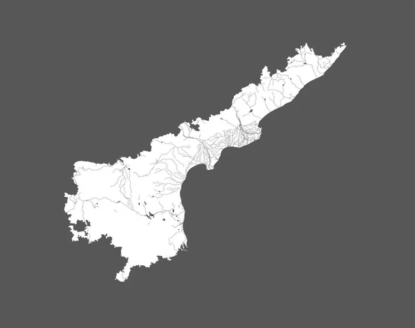
India states - map of Andhra Pradesh. Hand made. Rivers and lakes are shown. Please look at my other images of cartographic series - they are all very detailed and carefully drawn by hand WITH RIVERS AND LAKES.
India States Map Andhra Pradesh Hand Made Rivers Lakes Shown — Stock Vector
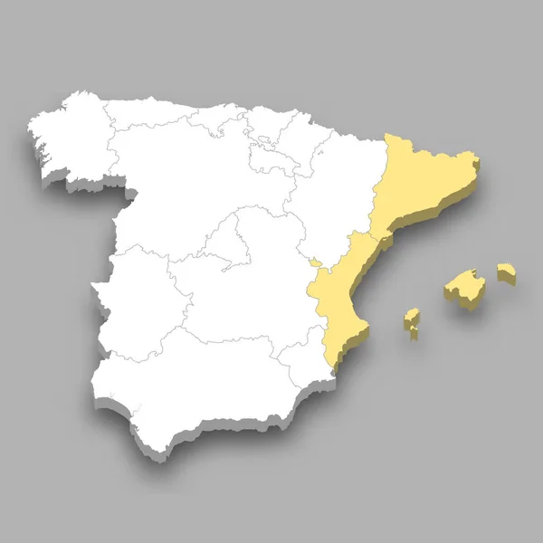
East region location within Spain 3d isometric map
East Region Location Spain Isometric Map — Stock Vector
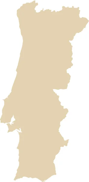
BEIGE CMYK color detailed flat stencil map of the European country of PORTUGAL on transparent background
Beige Cmyk Color Detailed Flat Stencil Map European Country Portugal — Stock Vector
Sivas province map, administrative divisions of Turkey. Vector illustration.
Sivas Province Map Administrative Divisions Turkey Vector Illustration — Stock Vector
Bogovinje Municipality (Republic of North Macedonia, Polog Statistical Region) map vector illustration, scribble sketch Bogovinje map
Bogovinje Municipality (Republic of North Macedonia, Polog Statistical Region) map vector illustration, scribble sketch Bogovinje map — Stock Vector
Cape Verde country thin black outline. High detailed map. Vector illustration isolated on white background.
Cape Verde Country Thin Black Outline High Detailed Map Vector — Stock Vector
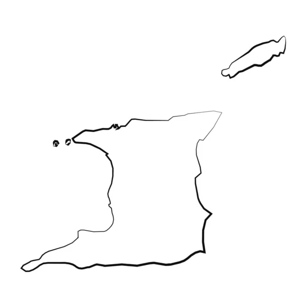
Hand Drawn Lined Trinidad and Tobago Simple Map Drawing
Hand Drawn Lined Trinidad Tobago Simple Map Drawing — Stock Vector
Los Rios region map, administrative division of Chile.
Los Rios Region Map Administrative Division Chile — Stock Vector
Espirito Santo Map, state of Brazil. Vector Illustration.
Espirito Santo Map State Brazil Vector Illustration — Stock Vector
Cyprus map vector line contour silhouette isolated on white background. Greek island map.
Cyprus Map Vector Line Contour Silhouette Isolated White Background Greek — Stock Vector
Uruguay map city icon
Uruguay map city icon — Stock Vector
Huila province map, administrative division of Angola.
Huila Province Map Administrative Division Angola — Stock Vector
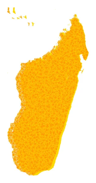
Golden Vector Map of Madagascar Island
Golden Vector Map of Madagascar Island — Stock Vector
Russia Map country
Russia Map country — Stock Vector
Accurate map of Tenerife
Accurate map of Tenerife — Stock Vector
Greece territory icon in outline style isolated on white background. Greece symbol stock vector illustration.
Greece territory icon in outline style isolated on white background. Greece symbol stock vector illustration. — Stock Vector
Ida Viru county map, the state administrative subdivision of Estonia. Vector illustration.
Ida Viru County Map State Administrative Subdivision Estonia Vector Illustration — Stock Vector
Nicaragua country thin black outline. High detailed map. Vector illustration isolated on white background.
Nicaragua Country Thin Black Outline High Detailed Map Vector Illustration — Stock Vector
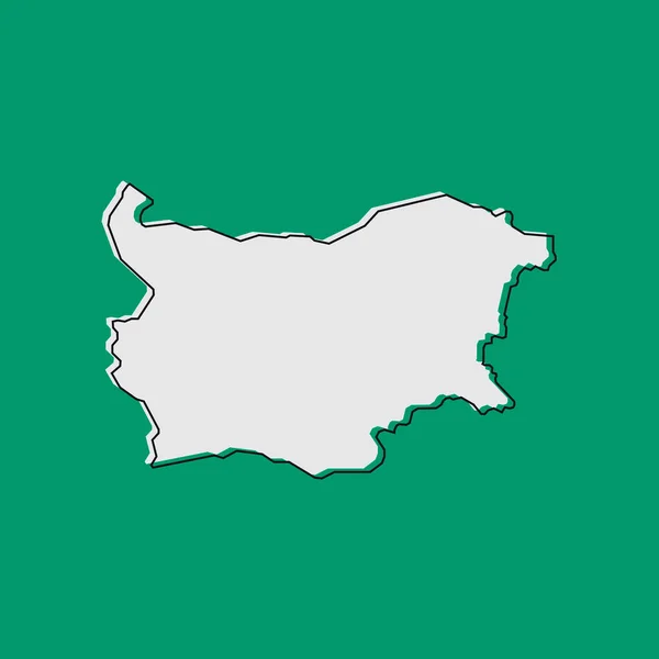
Vector Illustration of the Map of Bulgaria on green Background
Vector Illustration Map Bulgaria Green Background — Stock Vector
Pasco map, region in Peru. Vector Illustration.
Pasco Map Region Peru Vector Illustration — Stock Vector
Canakkale province map, administrative divisions of Turkey. Vector illustration.
Canakkale Province Map Administrative Divisions Turkey Vector Illustration — Stock Vector
Dot Panama Map Abstractions
Dot Panama Map Abstractions — Stock Vector
Athens islands greece icon in Outline style
Athens Islands Greece Icon Outline Style — Stock Vector
Greece - grey 3d-like silhouette map of country area with dropped shadow. Simple flat vector illustration
Greece - grey 3d-like silhouette map of country area with dropped shadow. Simple flat vector illustration — Stock Vector
Isolated vector Illustration. Black on White background. EPS 10 Illustration
Isolated Vector Illustration Black White Background Eps Illustration — Stock Vector
Silhouette contour border map of Spain
Silhouette contour border map of Spain — Stock Vector

Related vector searches

Discover the Beauty of Mallorca with our Map Vector Images

If you're looking for high-quality vector images of Mallorca maps, you've come to the right place. Our expertly crafted illustrations are designed to help you create stunning projects that showcase the beauty of this beautiful island.

The Best Mallorca Map Vector Images

We offer a range of Mallorca map vector images, including detailed topographical maps, street maps, and maps that highlight the island's major attractions. Our vector images are available in AI and EPS formats, ensuring maximum versatility for all your projects.

Whether you're designing a brochure for a travel agency or creating a website for a hotel, our Mallorca map vector images are the perfect addition to your project. They're also ideal for bloggers who want to share their experiences of Mallorca with their readers.

Using Mallorca Map Vector Images Effectively

Vector images are a great choice for any project, but it's essential to use them correctly. One of the benefits of vector images is that they're scalable, so you can resize them without losing quality. However, you need to make sure you use the right resolution for your project.

When working with vector images, it's also essential to keep file size in mind. Larger files can slow down your website or make it challenging to send attachments through email. Be sure to optimize your vector images to ensure they're the optimal size for your project.

The Benefits of Mallorca Map Vector Images

Using Mallorca map vector images can help elevate your project to the next level. Not only are they visually stunning, but they're also versatile, allowing you to use them in a range of marketing materials such as brochures, social media, and websites.

By using our Mallorca map vector images, you can showcase the beauty of the island and highlight its unique features. Whether you're promoting a hotel, a restaurant, or a tour, you can use our images to help your audience visualize the location and plan their trip accordingly.

Where to Find Mallorca Map Vector Images

You can find our collection of Mallorca map vector images on our website. Our team of experts has worked hard to ensure our images are of the highest quality and can be used for a range of projects. Browse our selection today to find the perfect image for your next project!

In conclusion, if you're looking for stunning vector images of Mallorca maps, look no further. Our collection of Mallorca map vector images is the perfect addition to any project and can help you showcase the island's natural beauty and unique features. Be sure to use our images correctly and take advantage of their scalability and versatility to create compelling marketing materials that stand out from the crowd.